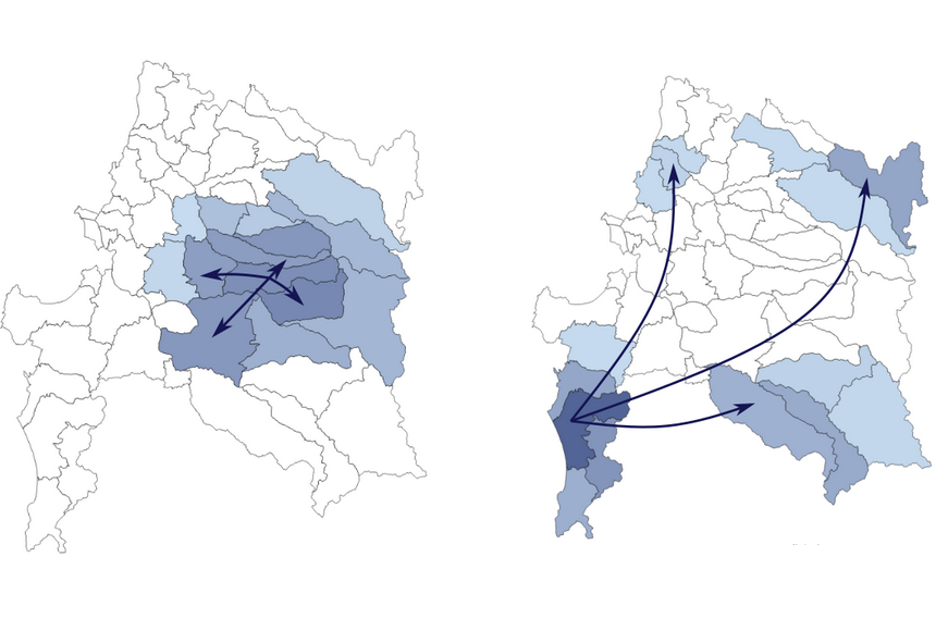
Geo-Storylines is a collection of visualisation designs that integrate geospatial context into Storyline visualizations, using different strategies for compositing time and space.
Projects
All Projects

HyperStorylines: Interactively Untangling Dynamic Hypergraphs
HyperStorylines is a visualization that generalizes Storylines to visualize the evolution of relationships involving multiple types of entities such as, e.g., people, locations and companies.

Perception Studies of Geo-Temporal Visualizations
Two perception studies conducted during my first year as a postdoc where I compared visualizations for geo-temporal data: one for the correlation between two variables and the other for propagation phenomena.

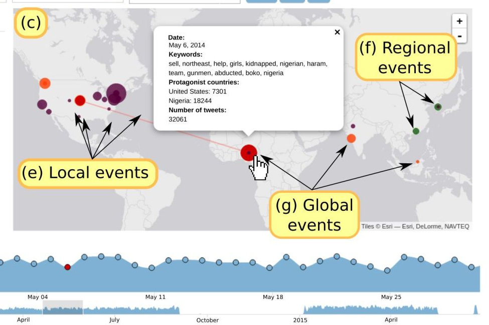
Galean: Visualization of news event from Twitter
Visualization tool to explore and analyze news events extracted from Twitter in their social and geopolitical context.

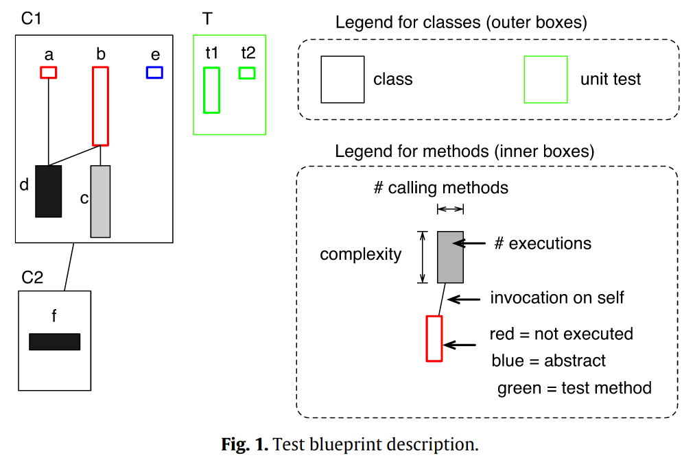
Test Coverage with Hapao
Visualization of test coverage using the Pharo programming environment and language.
